Land Surveying
The topography service maintains topographic maps of the surface of CERN sites on GIS Portal.
Upon communication with project managers and network managers, it conducts surveys of newly laid underground networks on the exterior of buildings.
Services on request (depending on the size and nature of the request, the service may be outsourced or invoiced and an estimated cost will be proposed)
- Detailed topographic plans as part of development projects.
- Volume surveys. The service requires a preliminary survey of the backfilled or excavated area. This can be, depending on the case, carried out with a drone.
- Realization of topographic profiles.
- Implementation of infrastructure projects (buildings, roads, networks, fencing, etc.) based on a provided dwg plan in CERN coordinates (CCS).
- Implementation of axes and level points based on a provided dwg plan in CERN coordinates (CCS).
- Implementation of existing underground networks in the context of DICT or excavation work.
- Auscultation work: multiple periodic measurements of infrastructure in order to observe any movement, within the limits of the instrumental precisions.
- Slab level reading.
- Any measurement of distances, heights or angles requiring the use of topography equipment as mentioned below.
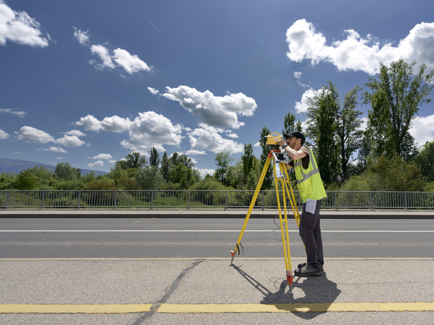
Instrumentation and corresponding precision (instruments the service works with)
- Tachymeter (or Trimble S3 total station): accuracy from ± 3 mm to 2 cm in planimetry and altimetry, depending on the operating mode used.
- Precise levelling: accuracy from ± 0.2 mm to 1 cm in altimetry, according to the operating mode used.
- Differential GPS: accuracy from ± 1 cm to 3 cm in planimetry and ± 2 cm to 5 cm in altimetry, depending on the operating mode used.
- Drone: image resolution up to 5mm / pixel – Digital Terrain Model Accuracy: ± 5 cm.
Services not covered
- Topographic surveys and measurements in accelerator tunnels and generally within controlled areas
- Measurements and implementations requiring precision not obtainable with the available instrumentation (eg. measurement and alignment of cranes)
- Measurements that do not require the use of topography equipment (eg. simple measurements and implementations achievable using a simple measuring tape)
Important note
Request submission by the project manager or the network manager of a survey of newly added lines (electricity, optical fiber, water…) is mandatory for any outside buried networks.
To submit a request, please use one of the following links: