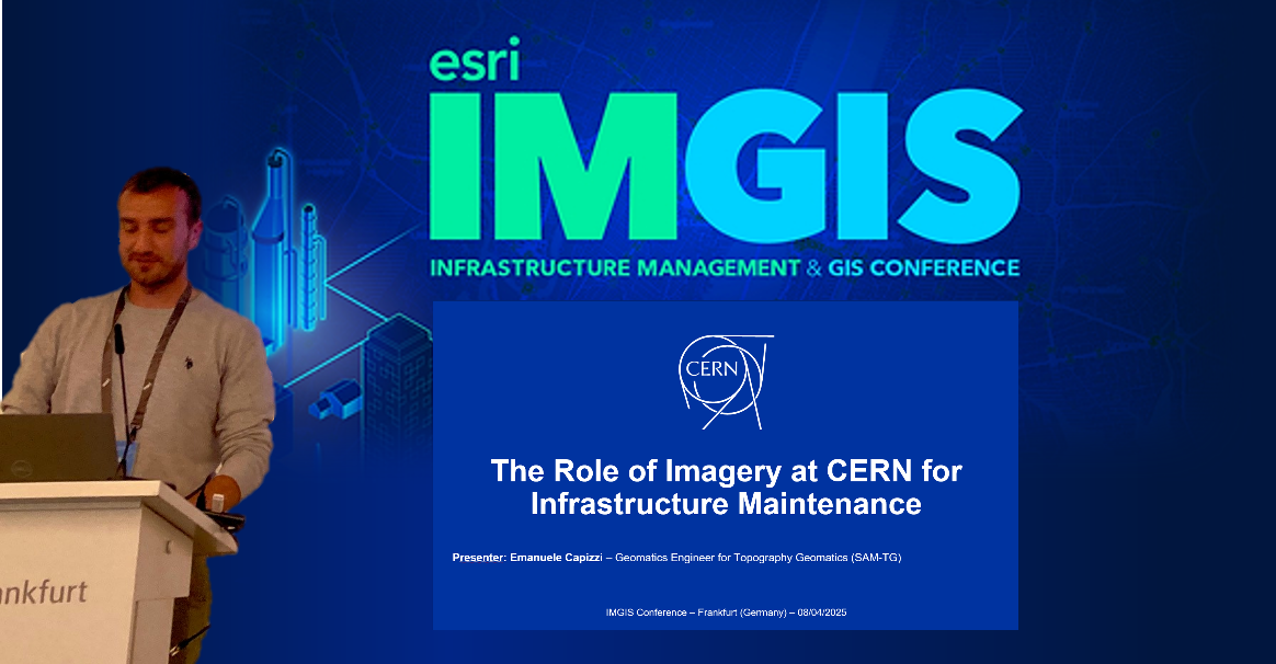
On the 9 April 2025, Emanuele Capizzi (SAM-TG) delivered an impactful presentation at the Infrastructure Management & GIS International Conference (IMGIS) in Frankfurt, Germany. His contribution highlighted the significant role of imagery in infrastructure maintenance at CERN.
He showcased how aerial imagery, orthophotos, 3D scenes, 360° panoramic images, and visual documentation of underground networks contribute to improving cost-efficiency, operational quality, and informed decision-making. Through concrete examples he showed how SCE benefits of these technologies, from using high-resolution orthophotos for monitoring construction sites, 360° imagery for detailed visualization of tunnels and roads, and 3D meshes combined with BIM models to support site development and asset management.
Congratulations to Emanuele for representing CERN and effectively sharing innovative practices.

